The high plateau of Botswana, the desert of Egypt, the rainforests of Congo, the savannah of Kenya. Across the beautiful continent of Africa, the landscapes range from vast highlands to rich rainforests to pristine coastlines. What is pictured on social media usually tends to highlight safari life, however there are so many more geographical sites that go unnoticed. Throughout this article, we will explore the northern regions, through to the west, east, central and south regions of Africa to understand the diverse landscapes.
Northern Africa
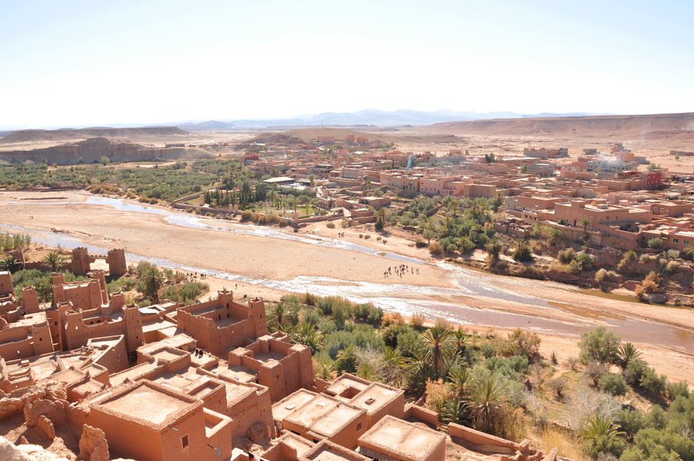
There are three main geographic features in North Africa being the Sahara desert, the Atlas Mountains and the Nile River and delta. Though these various climate types can be found in the Northern region of Africa, arid and dry traits are more dominant and generally observable. Large areas of the region are uninhabited desert, and cold temperatures are present at night at the high elevations, with moderate temperatures at the bases. During the day the dryness persists and takes the form of scorching heat. People in Morocco, Egypt, Tunisia, Libya and Algeria are ‘more dependent on the availability of water than on the availability of oil.’
Western Africa
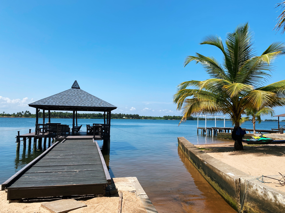
The West African region extends, as the name suggests, westward to the Atlantic Ocean. What distinctly separates WA from North Africa or Central Africa, is the African Transition Zone with borders the edge of the Sahara Desert. A main feature of this part of Africa is the Niger River- the third longest river in the continent, extending through Mali, Niger and Nigeria up to the Gulf of Guinea. Mauritania and Cape Verde Islands are also incredibly stunning islands off the Western coast of Africa. Temperatures in West Africa tend to score in the pretty high numbers. However, in terms of rainfall there is a range between the low- lands further outward and the states closer to the Sahel- close to 20% in the former, and up to 40% towards the Sahel.
Central Africa
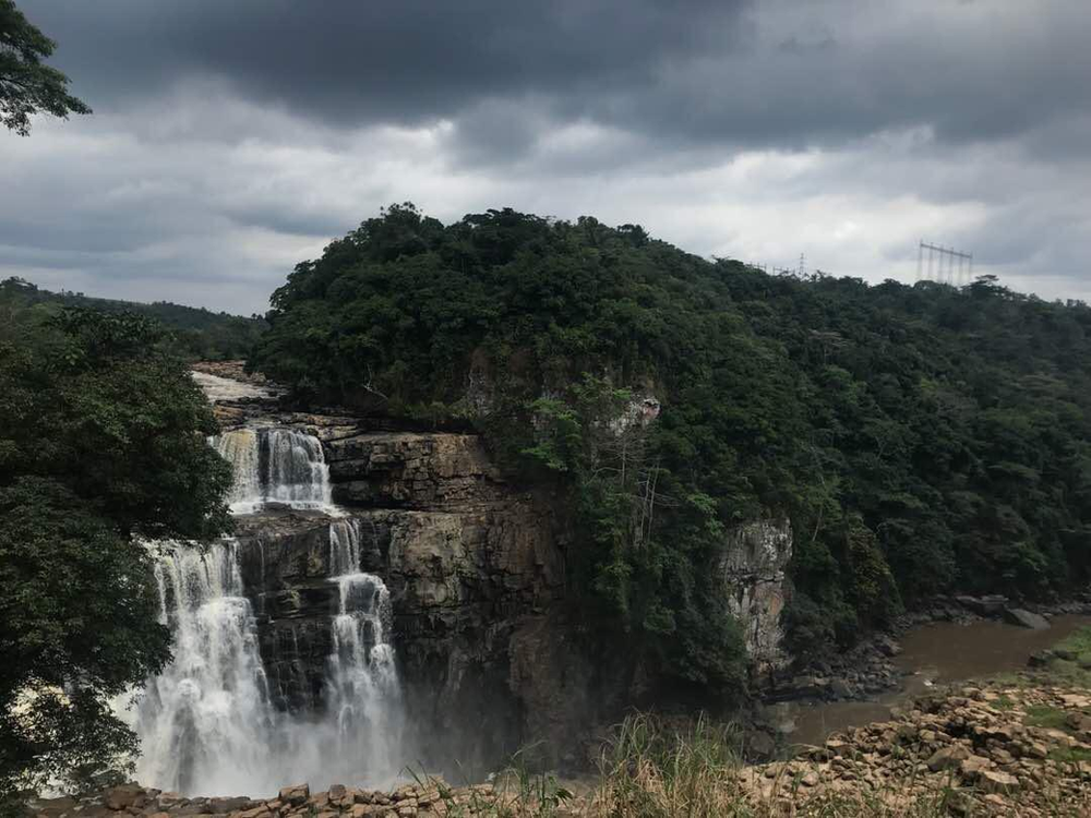
Central Africa is one of the most diverse physical spaces in the continent, with mountain ranges, equatorial temperatures and even lush rainforests! It is intriguing to note that this diversity naturally requires a large geographical area- covering the same area as about 3/4 the United States. The Northern part of CA is the African Transition zone, which goes through Chad; it is arid and gets more humid moving downward. In Cameroon, the highlands are a significant feature as a product of the tectonic plates shifting that also created São Tomé and the Príncipe, an island part of Equatorial Guinea, and the mountain range between Nigeria and Cameroon. As mentioned, there is great diversity in Central African geography as an active volcano of the highest elevation is Mount Cameroon. In Chad, a large lake is an incredible phenomenon as the size expands and contracts based on seasonal rainfall. Human interference in the lake such as diversion and climate change in general has caused the water levels to decrease rapidly, and it very well could entirely disappear at the end of this century.
East Africa
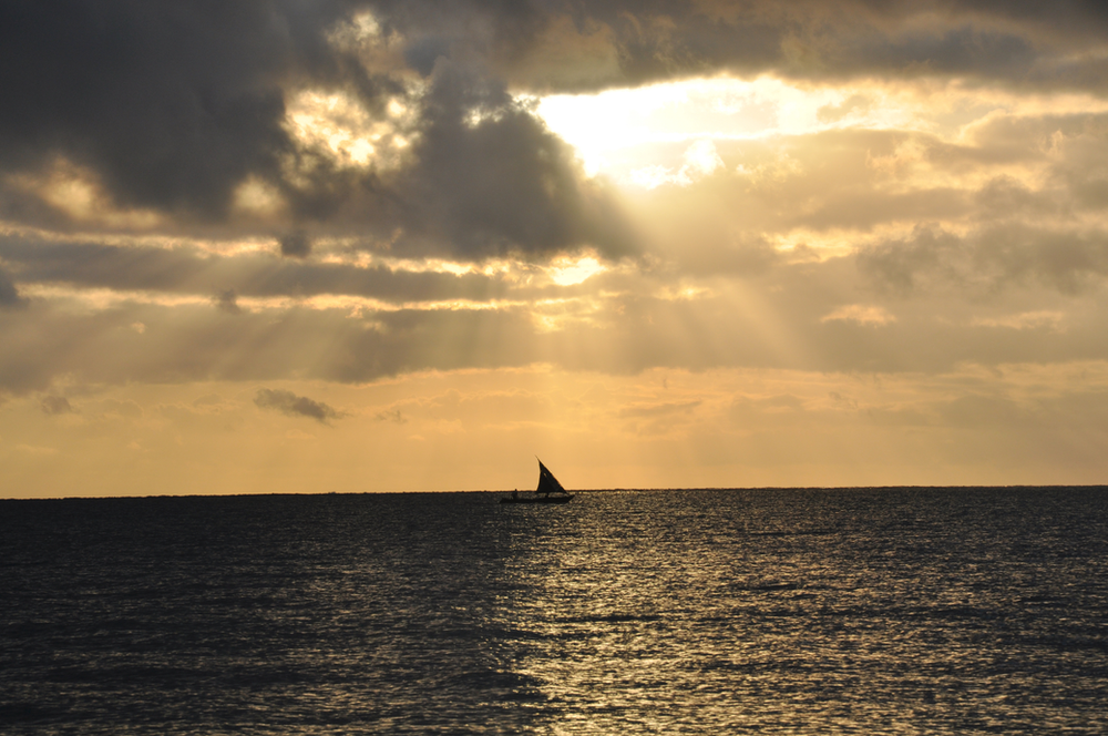
East Africa extends from Malawi in the south, and extending through Tanzania Kenya, Uganda, Ethiopia, Rwanda, Burundi, Somalia, Eritrea, Malawi, Zimbabwe, Zambia, Djibouti, South Sudan, Mozambique, Comoros, and Madagascar. The world’s second- largest lake is Lake Victoria, bordering Uganda, Tanzania and Kenya. It’s a fresh- water source and provides sustenance through water for many communities and millions of people in the region. Another large geographical beauty is Mount Kilimanjaro, the highest mountain in Africa, located in Tanzania. In East Africa, the second highest peak of Mount Kenya is just north of Nairobi. On the topic of mountain ranges, the Rwenzori Mountains on the Uganda- Congo border cut off moisture for the general region from the equatorial winds at elevations of more than 16,000 feet. In Ethiopia, the highlands also restrict moisture and precipitation to the east. The little rainfall has over time created dryness, and a savannah landscape, with sporadic trees, open plains and grasslands as seen in the Great Rift Valley. Beautiful coastlines are also found across the Eastern section of Africa, as seen in Madagascar, Kenya, Tanzania, Mozambique, Malawi, Comoros and Somalia. Furthermore, East Africa is an incredibly popular tourist destination for safaris in Serengeti (Tanzania), Maasai Mara (Kenya), and gorilla trekking in the Volcanoes National Park and Nyungwe Forest (Rwanda).
Southern Africa
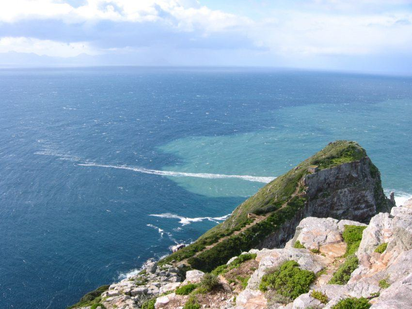
Home to a number of environmental systems, the Tropic of Capricorn runs through the middle of Southern Africa, indicating that the southern portion is outside the tropics. The Kalahari Desert in Botswana has a mixture of desert and grassland. Home to many national parks and reserves, the Namib Desert of Nambia is much more dry than the Kalahari. In terms of mineral resources, the large countries of Southern Africa are wealthy in natural resources and have a huge potential for economic growth. This tends to serve explanations as to why South Africa and Angola are some of the most affluent and developed countries across the continent. At Cape Point in South Africa, the southern-most part of Africa, an interesting phenomenon occurs between the Indian Ocean and the Atlantic Ocean. From the viewpoint, it is possible to see both oceans meeting but never mixing. In this manner, the light blue color of the Indian Ocean and the deeper blue of the Atlantic are clearly visible.
Powered by WPeMatico


